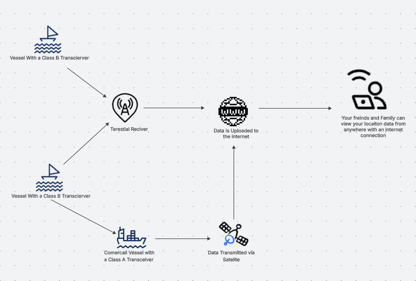
AIS, or Automatic Identification System, is a tool used by mariners to help see and be seen by other vessels. This system has been in use for nearly three decades and has helped vessels stay accountable and on track to their destinations. AIS uses the VHF frequency band to transmit vessel information to either other ships or to shore-based terrestrial receivers. These receivers then forward the data to one or more aggregation platforms, where anyone can log on and view a vessel’s location in real time.
This information is valuable for a number of reasons:
- Small vessels without AIS capabilities can view the positions of larger ships online, particularly useful in areas where visibility is low
- First responders can access a vessel’s last known position quickly and reliably
- Friends and family at home can follow a vessel’s voyage in real time
- Clubs and marinas can plan around an expected arrival
What We Did
We applied online through MarineTraffic’s receiver program. The application asks for your proposed location and justifies the coverage gap in the area for Morro Bay, the gap was clear and the application was approved. The equipment arrived shortly after: a receiver unit, antenna, and the necessary cabling.
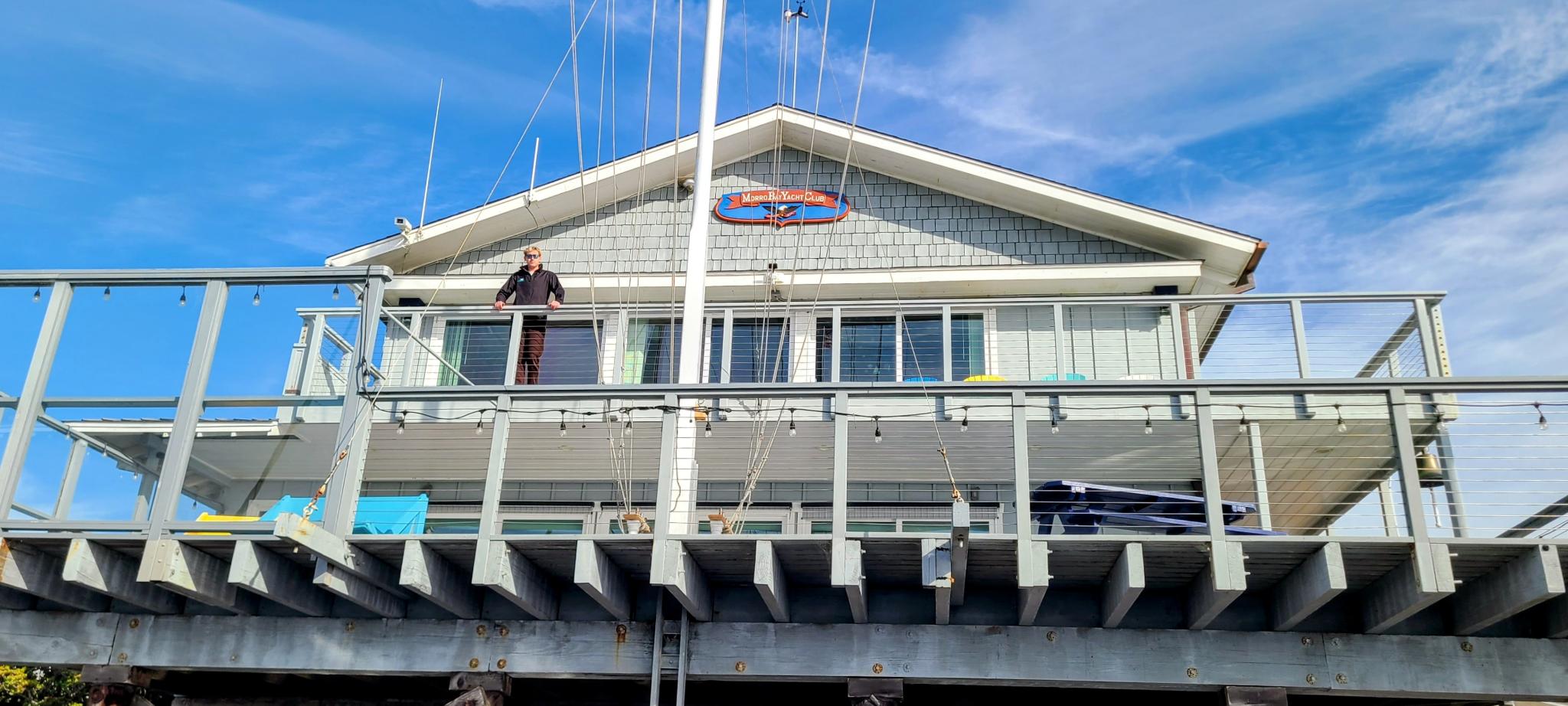
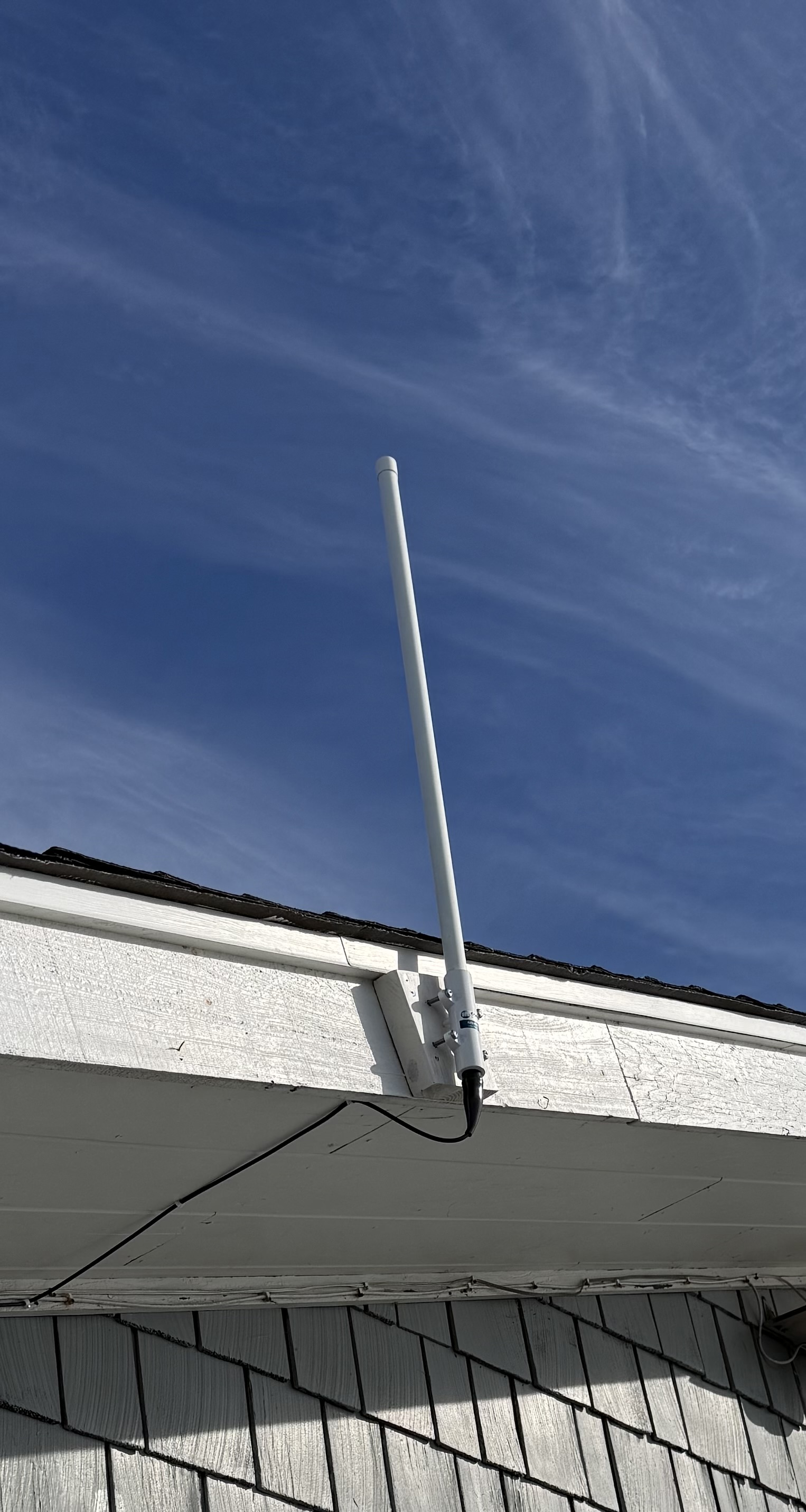
Once we had the kit, we coordinated with the site to find the best antenna placement an elevated area, with clear line-of-sight to the water and access to ethernet and power nearby. After confirming the location, the install was straightforward: mount the antenna, run the coaxial feedline to the receiver, connect to ethernet and power, and the unit came online automatically. No additional configuration was needed. Within a short time, vessel contacts from Morro Bay were appearing live on MarineTraffic.
The receiver provided by MarineTraffic sends all data exclusively to their platform. If you want to process the data on your own and send it where you want, check out our other write up on how we did a separate install using our own receiver hardware.